FLASH3R: On-Board Incremental Dense 3D Aerial Reconstruction with Progressive Geometry Guided Visual Geometry Grounded Transformer
Zhihao Jia1, Han Hu1, Pengxin Gu1, Junfan Wang1, Yang Jia2, Bo Xiang2, Jiwei Deng3, Yulin Ding1, Qing Zhu1
1 Faculty of Geosciences and Engineering, Southwest Jiaotong University · 2 Sichuan Highway Planning, Survey, Design and Research Institute Ltd. · 3 China Railway Design Corporation
preprint · 2026
Background and Motivation
UAV photogrammetry is increasingly used for time-sensitive field tasks such as emergency response, disaster inspection, and infrastructure monitoring. In these scenarios, the basic requirement is not only to acquire 2D orthophotos, but to generate real-time, geo-referenced 3D information that can support deformation analysis, volume estimation, and rapid decision-making.
Conventional on-board pipelines are often limited to digital orthophoto maps (DOM), while full sparse-to-dense reconstruction remains computationally expensive for edge UAV platforms. Flash3R targets this gap by combining incremental SfM with feed-forward visual geometry inference, enabling dense 3D reconstruction directly on the UAV without depending on cloud computation.
- Sparse-Dense Dual-Branch Parallel Reconstruction
- Image-Level and Point-Level Dense-to-Sparse Alignment
- Edge Device Deployment Validation
Pipeline
Flash3R processes successive UAV image batches through three compact stages:
- Sparse Pipeline: geo-referenced SfM scaffold
- Dense Pipeline: transformer-based dense geometry inference
- Two-Level Alignment: image-level pose refinement and point-level MLS correction
Dataset Results
Reconstruction Process
Point Clouds
Output Products
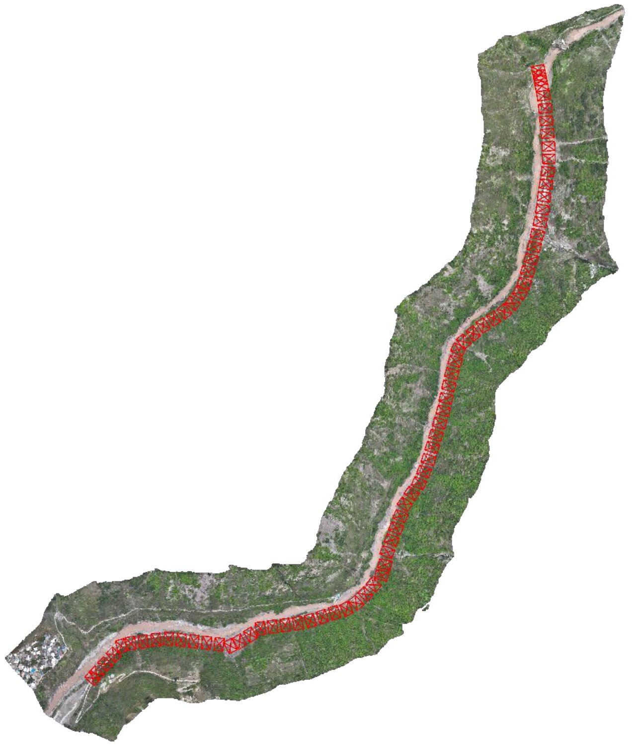
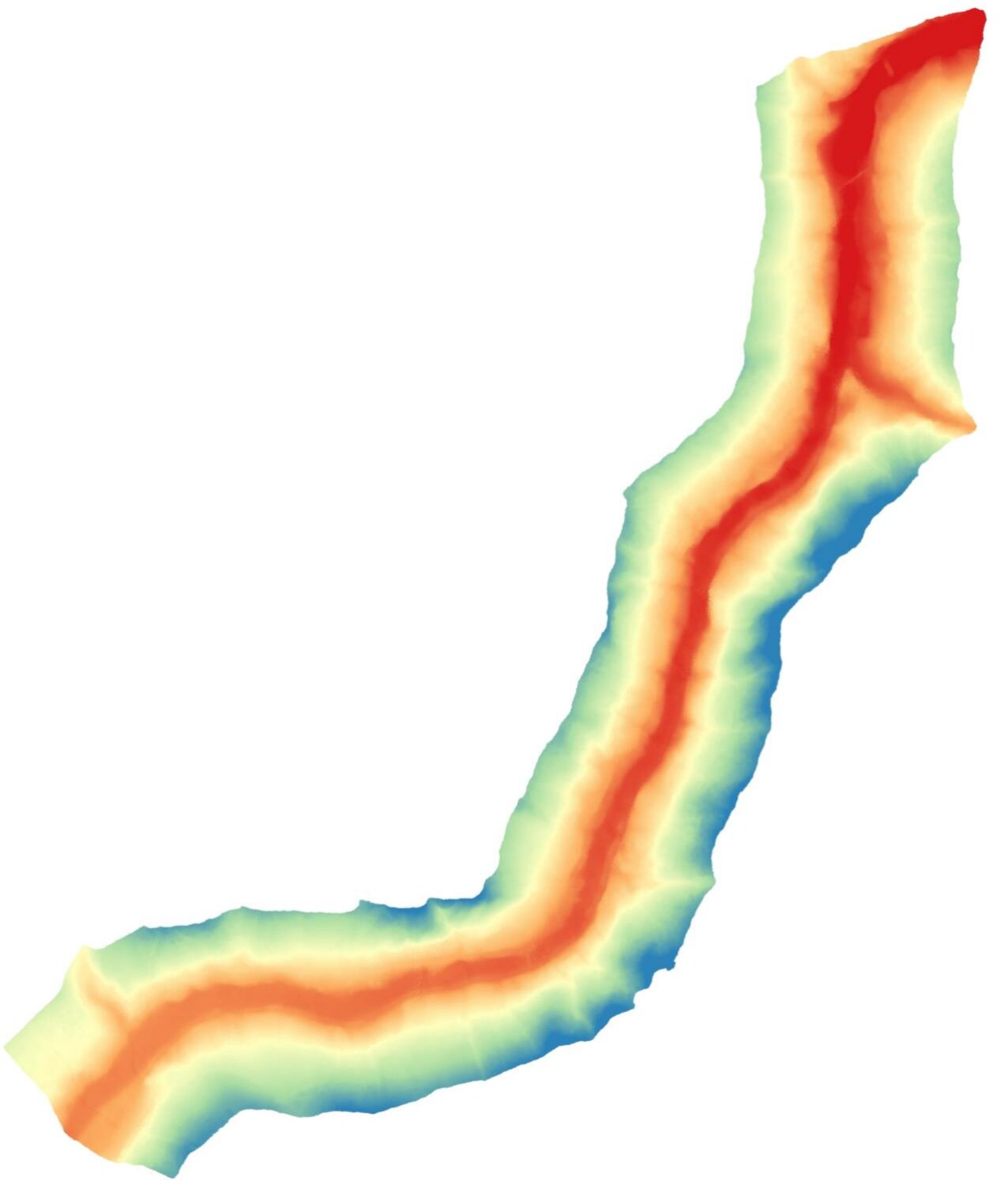
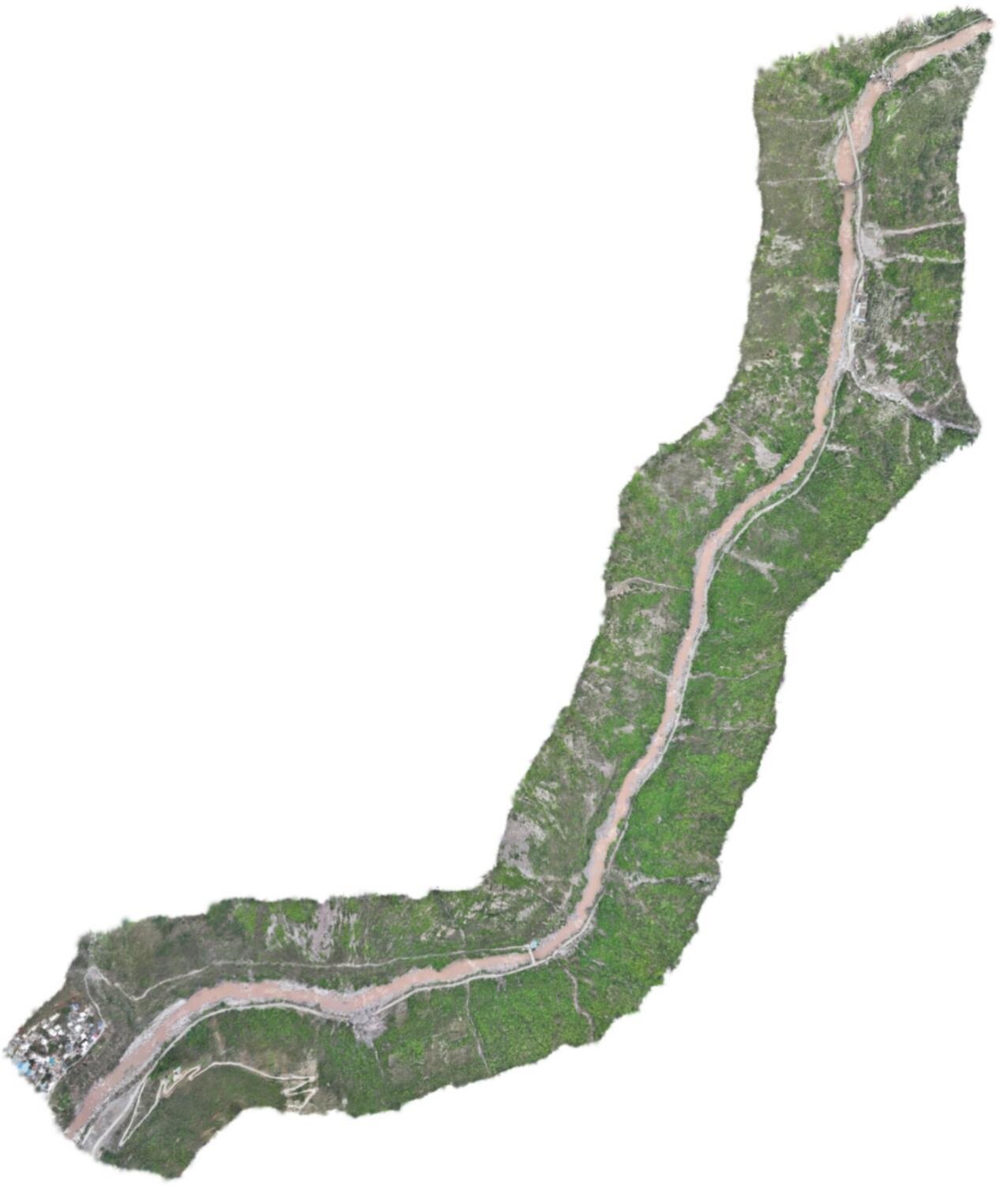
Reconstruction Process
Point Clouds
Output Products
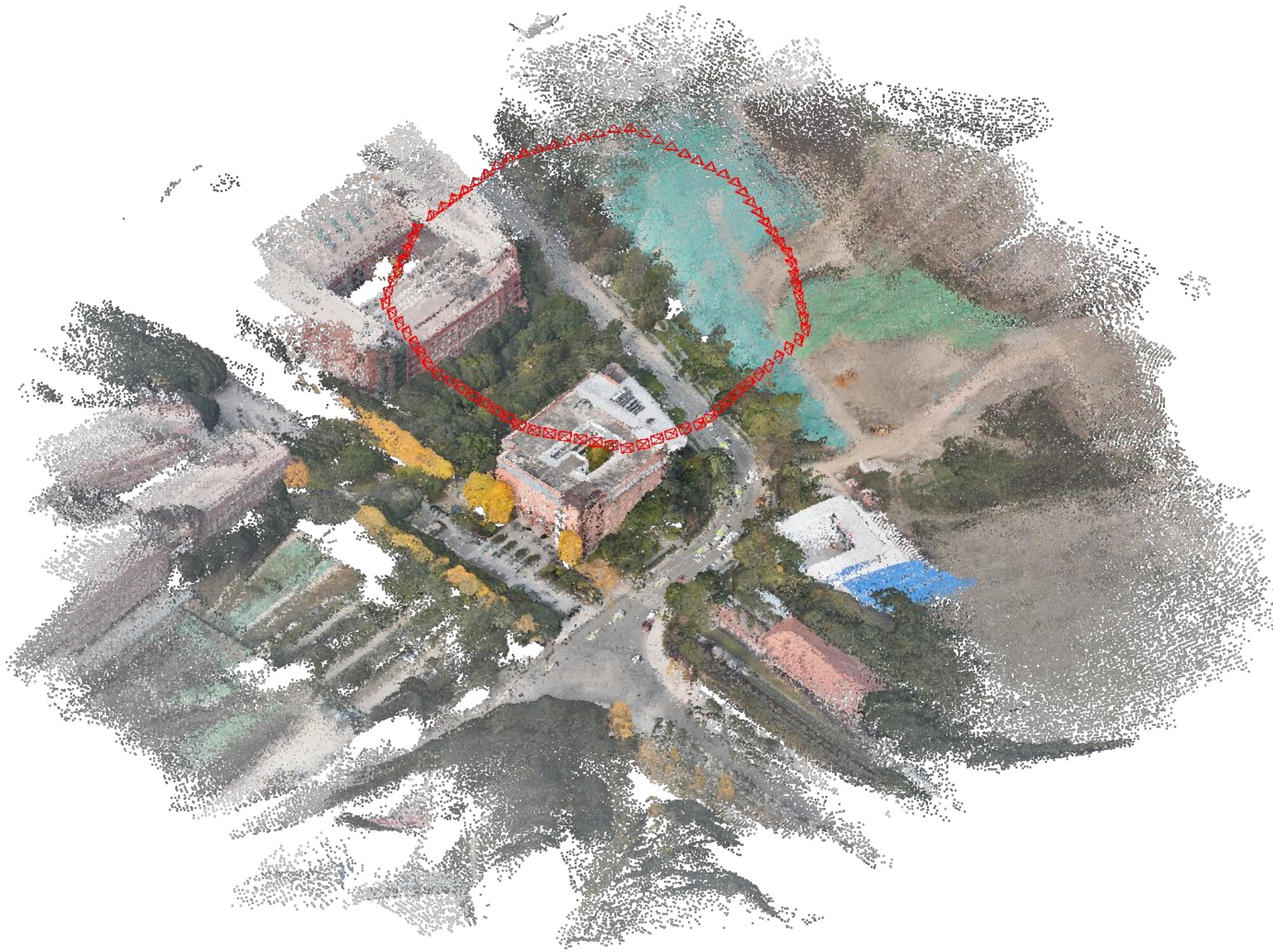
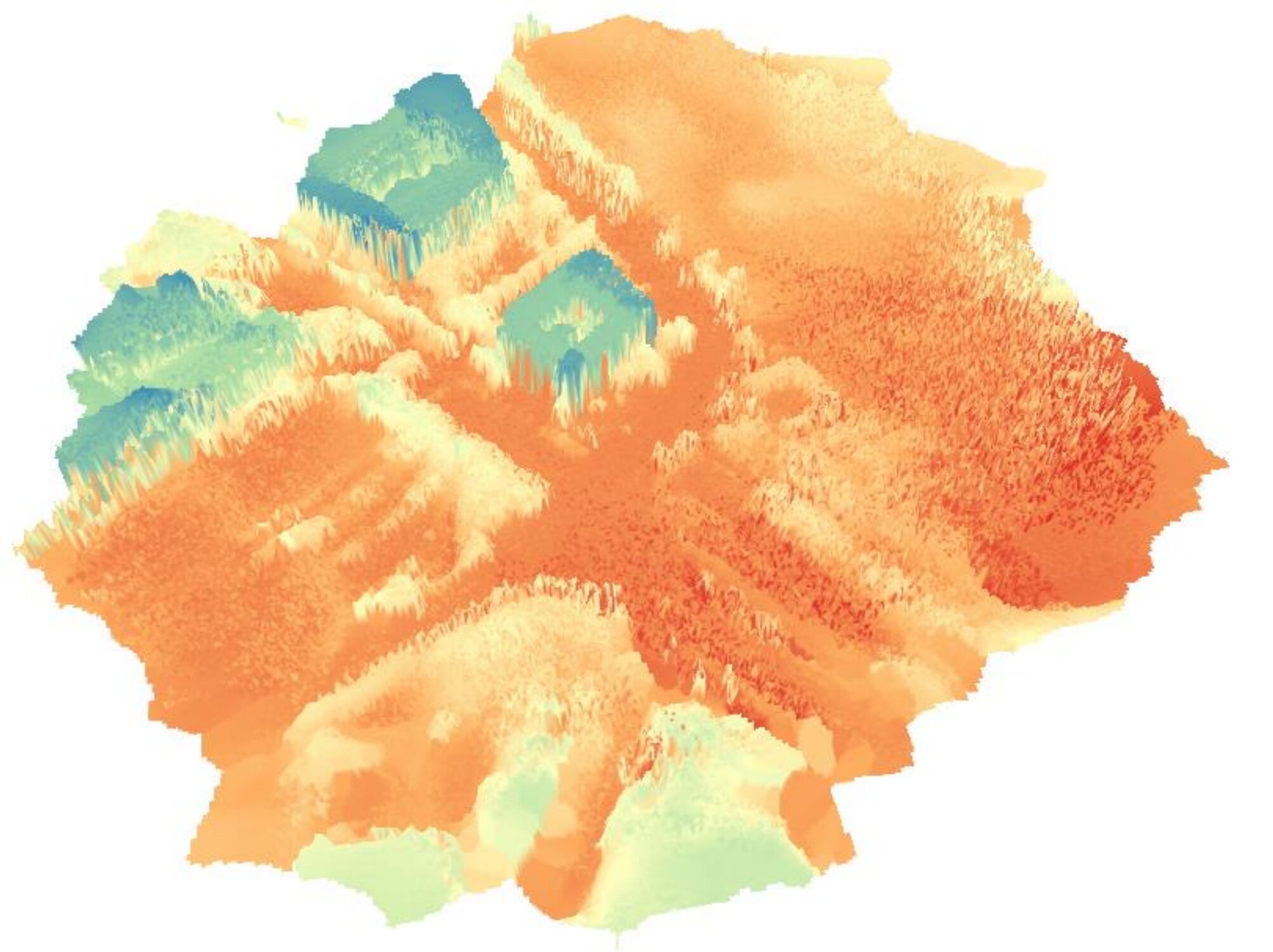
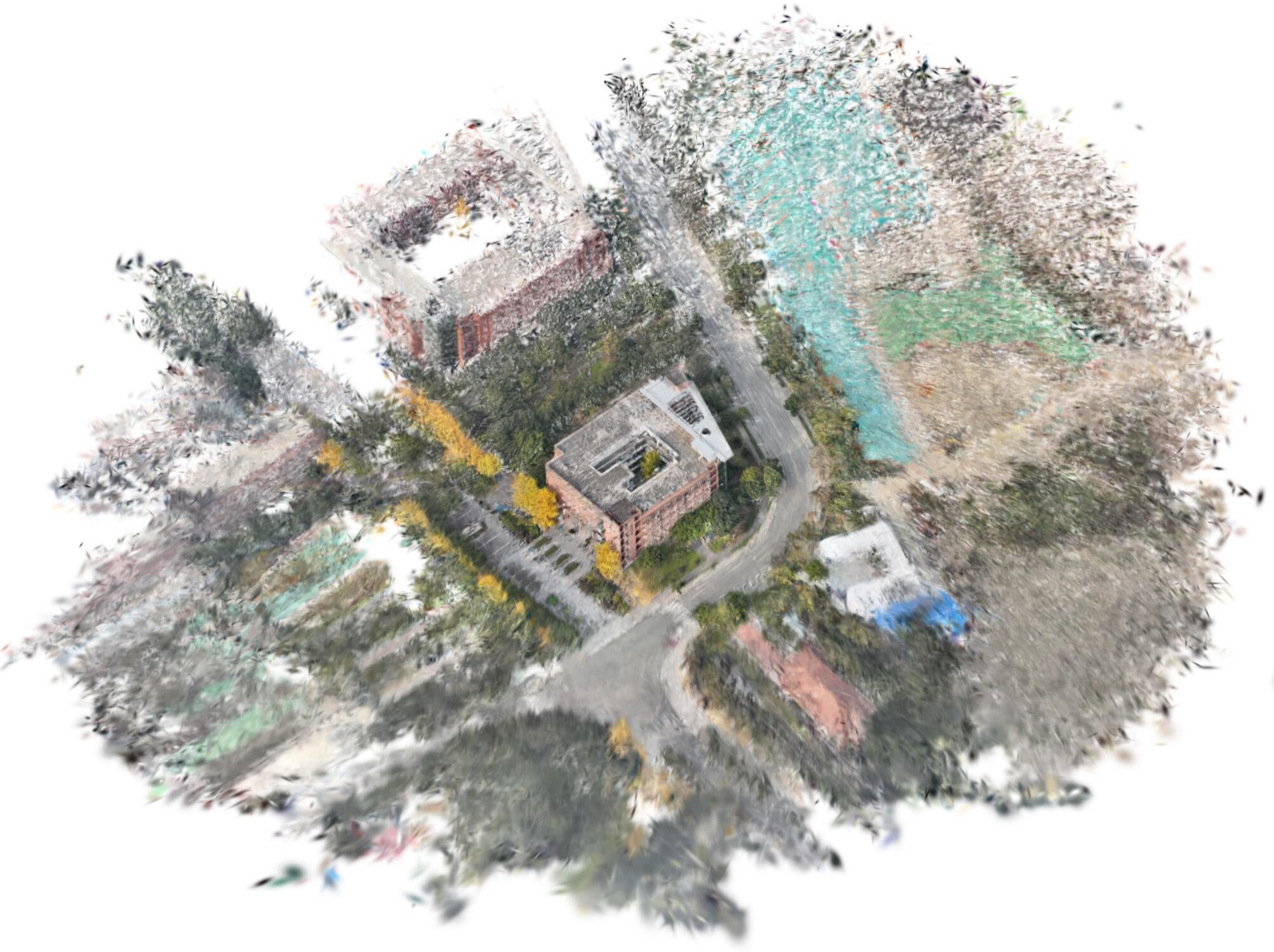
Reconstruction Process
Point Clouds
Output Products
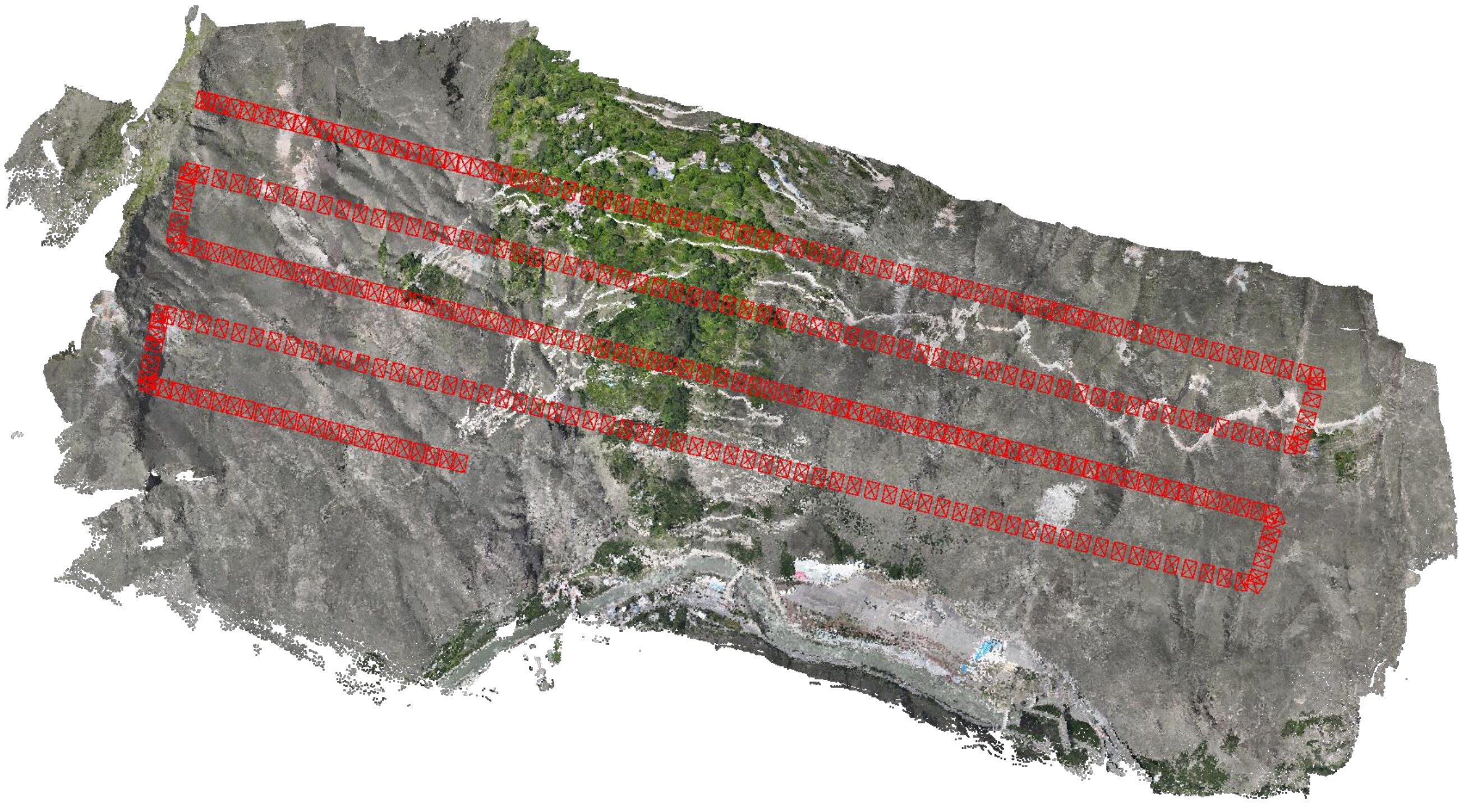
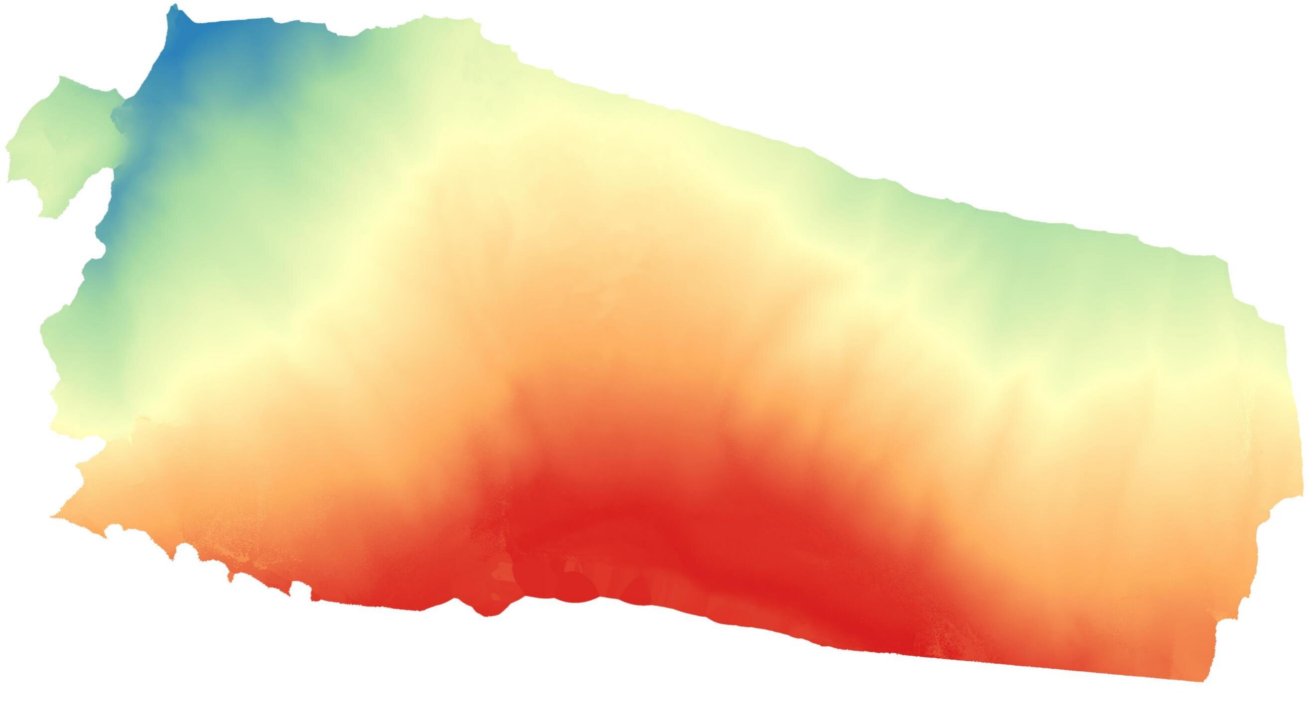
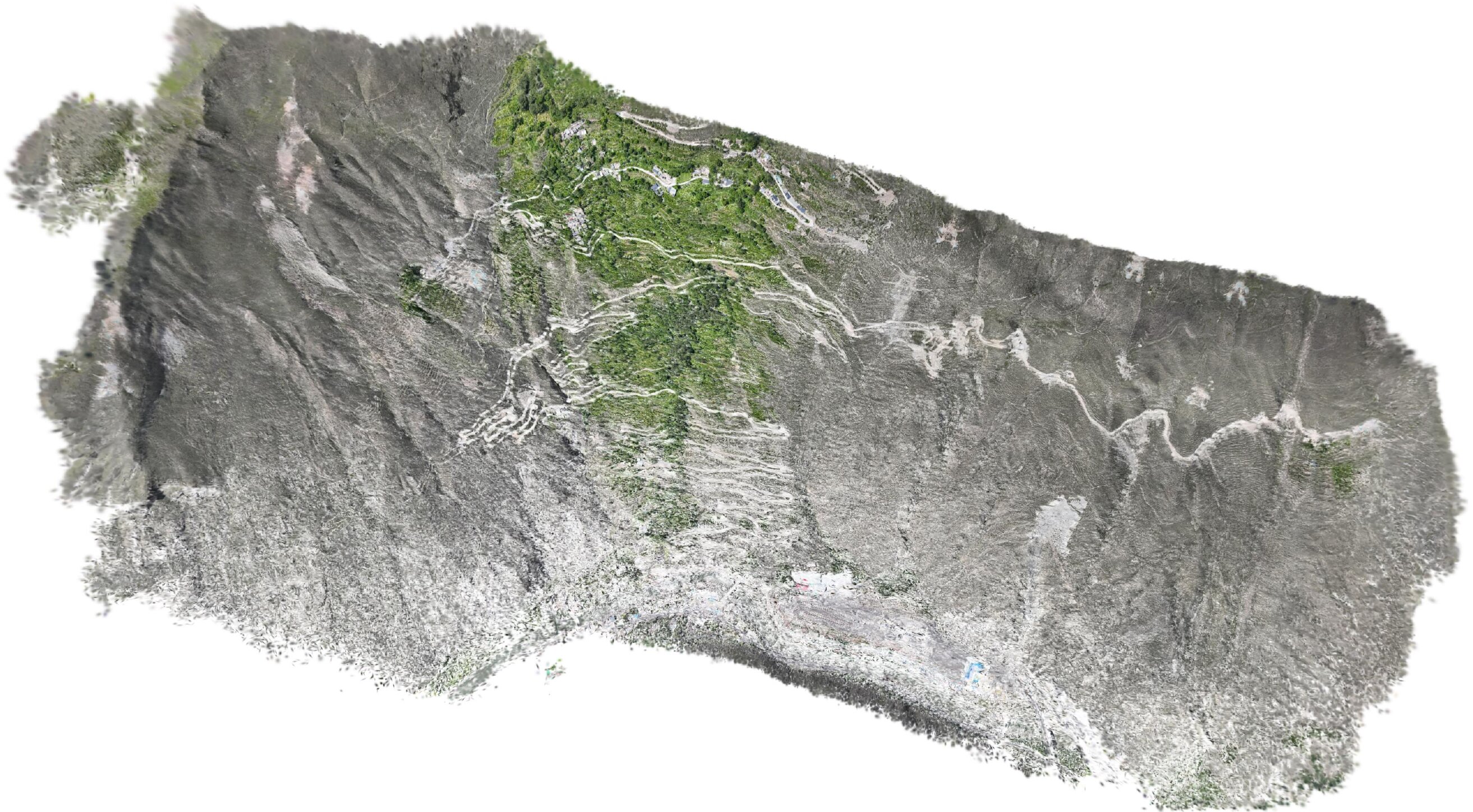
On-Board Point Cloud Swipe Comparison
Point clouds reconstructed fully on-board a UAV-mounted NVIDIA Thor edge platform, compared against offline COLMAP dense reconstruction and LiDAR ground truth. Swipe the vertical divider to compare two point clouds side by side. Select which cloud to display on each side; the M3C2 distance statistics (as percentages of the 110 m flight altitude) for the selected pair are shown below the viewer.
FLASH3R Point Cloud Gallery
Interactive 3D point clouds reconstructed by FLASH3R across different scenes. Select a dataset to explore.
Acknowledgements
This research was supported by the National Natural Science Foundation of China.